Point cloud
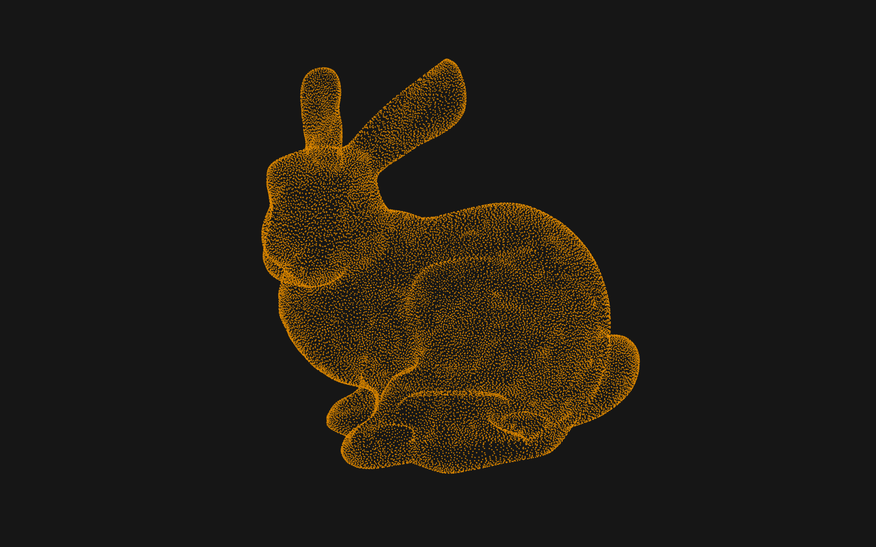
A point cloud is a set of data points in space that represents a 3D shape or object, with each point having its set of XYZ coordinates. Point clouds are generally produced by 3D scanners or Lidar data collection by measuring external surfaces of objects. While we can technically render and inspect them directly, point clouds are often converted to polygon meshes through surface reconstruction.
Point clouds are used to create geographical maps, provide references for real-world CAD models, compare a computer model with reality, and many other types of visualization and animation. In a way, point clouds are the closest way to how our atoms work in real life.