Location-based AR
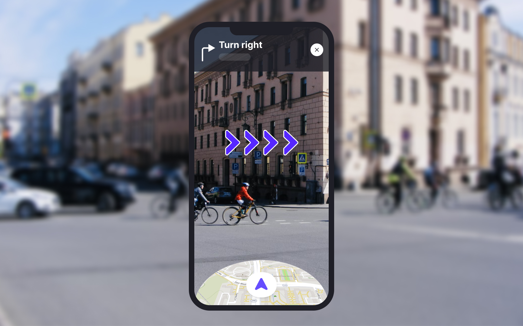
Location-based AR determines where users are and shows the information relevant to their location. Its application ranges from navigating public places to assisting emergency teams during accidents. For example, the Live View feature of Google Maps uses AR to help users orient themselves on the map. Arrows and directions are placed in the real world to guide users.
Mercedez-Benz offers a similar navigation feature for cars. Along with turning instructions, drivers can see house numbers and street names popping out as the vehicle approaches them. These apps use GPS, digital compasses, motion tracking, and location recognition to determine users' location.
For indoor navigation, systems like Bluetooth or Wi-Fi markers are used to track users’ locations within large buildings. These systems use a network of specialized devices installed in the building to determine users' position with high accuracy. Indoor navigation is especially useful in large or complex spaces like airports, malls, or hospitals. For example, if you’re at an airport and need to find your gate, an IPS (indoor positioning system) app can show you a map overlaid on your phone’s screen with directions to get there quickly.
